The
Kryous Typhoon Centre (KTC) tracks all tropical systems
in the North-Central Pacific Ocean between 166E - 154W and 0 - 30N
Super Typhoon Ioke
RECORD BREAKING TYPHOON Today Ioke became the first category 5 typhoon to have spawned in the KTC monitoring area and only the seventh to have ever entered the area. Moreover, this is the strongest Typhoon ever to make a direct hit on any Kryous possession. Extensive damage is already being reported across the island. Power is reported out on all of the island, except in extreme southern Azah. Extreme costal erosion is expected on the northern shore of the main island. Storm surge on the east coast of Diphida will be in the 25-30 ft range. The lower port of Chen Mai is inundated with 8 ft of standing water. As of 8AM KST Super Typhoon Ioke made landfall just northeast of Yessos. Sustained winds were recorded around 155 mph with gusts to 200 mph being recorded on the eastern tip of the island. A second landfall is expected on Diphida after a brief cross into the Jostan Channel. Stay tuned to the KTC for future conditions.
Current
Alerts
| What
alerts does the KTC issue and what do they mean? |
|
Sea Surface Watch |
Winds 25-47 knots,
seas 6-10 feet or high seas with long periods between waves resulting in rough surf
conditions and minor ocean flooding. This alert is primarily for
beach goers, small ocean craft and coastal communities. |
|
Sea Surface Warning |
Winds 48 knots or greater,
seas >10 feet or high seas with long periods between waves resulting in rough surf
conditions and moderate or major ocean flooding. This alert is
primarily for beach goers, small ocean craft and coastal communities. |
|
Coastal
Flood Watch |
Moderate or major flooding from the
ocean possible with 12-36 hours. |
|
Coastal
Flood Warning |
Moderate or major flooding from the
ocean possible in 12 hours or less. |
|
Tropical
Storm Watch |
Tropical storm conditions (sustained winds
40-74 mph) are possible within 48 hours. |
|
Tropical
Storm Warning |
Tropical storm conditions are expected
in 24 hours or less. |
|
Typhoon
Watch |
Typhoon conditions (sustained winds > 74 mph) are possible within
48hours. |
|
Typhoon
Warning |
Typhoon conditions are expected in 24 hours or
less. |
Storm Archive
Year - Storm# Name [Corresponding Agency #]
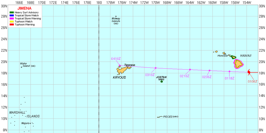
2003 - K1 Jimena [10E]
2004 - K1
Meranti [14W]


![2004 - K1 Meranti [14W]](WX_images/Meranti-Cropped.gif)